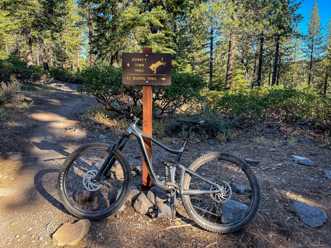
Jackass Trail is now called Donkey Town Trail, perhaps to clean up the language. Nonetheless, it’s still a fun flowy trail to quickly send it fast on the downhill. Once a not so well-known trail, coveted by local mountain biking enthusiasts, the Truckee Ranger District and Truckee Trails Foundation have adopted this trail as a legal Forest Service system trail.
While there are many trails surrounding Truckee, what makes Donkey Town so popular is that it allows you to hone your jumping and downhill skills on a short track that allows for a few loops.
Offers Both Ascent and Descent
This single-track mountain biking trail extends 2.3 miles and is considered moderate with a climb of 172 foot and an exciting 475 foot descent. This fast and flowy trail is perfect for bikes designed for downhill, but all sorts of mountain bikers ride it. Many users report that completing it is so fast, they opt in for more than just one lap.
While the trail can be ridden in both directions, it is predominantly designed for the West to East direction for the downhill run. Riding in the other direction would be a lung burner, not to mention it is a single track and traffic would be coming from the other direction.
Good Mix of Terrain

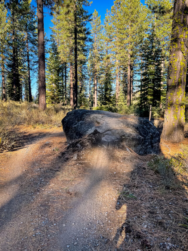
You can expect a bit of everything on this ride, from berms, jumps, to rocky tech sections, to fast straightaways. It also has the perfect options to turn your ride into a loop.
The lower section that parallels the highway allows you to ride the trail back to your car rather than biking on the hwy.
You’ll find a good mix of uphill with a fantastic downhill run. Below is the El Burro Trail loop. The Donkey Town Trail has become extremely popular in the last 2 years, so you might want to hit it when the crowds have left Lake Tahoe.
Because it is not overly strenuous, it attracts many riders from the Truckee area, whether vacationers or full-time residents. It is rated blue and offers easy access. It also a great trail to get on your game of jumping gaps and it is relatively short, so you can get a few downhill runs in one day.
Obviously, the views and chance to get deeper into the Tahoe backcountry is always a plus!
Directions to Trailhead

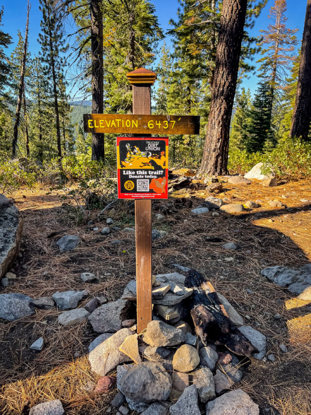
You will travel one quarter mile south of Truckee on Hwy 89. The bottom of the trail is located just off the highway. You may park off Hwy 89 or up the Forest Service road 01 to begin your climb. It’s a steady climb on the Forest Service road , and can take 30-45min, but is well worth it. Look for a huge tree in the center of the forest service road at the top. You will see a few different trails. Take the one on the right. That’s the start of the trail. You will still have a climb to get to the very top which peaks out at 6,437′. Once at the top, enjoy the downhill that you worked so hard for!
There are many amazing trails around the Lake Tahoe and Truckee area. This is a major reason so many buyers are choosing to move to the area. If you would like more information about available homes for sale, or a free property analysis of your home – contact me today!

Leave a Reply